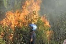
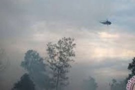
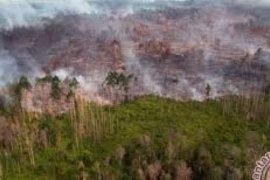
Dumai, Riau, Feb. 23 (ANTARA) - Forest and plantation fires in Dumai, Riau Province, up to Wednesday, have gutted at least 30 hectares of agricultural areas, a significant increase from 20 hectares a day earlier.
The fires affecting an integrated agricultural zone (KPT) at Pelintung village, however, had lessened thansk to the rains which had fallen in the area over the past few days, Hadiono, head of the Dumai agricultural office, said here Wednesday.
"Up to now, because there are still several hot spots in the area, the fires have continued to spread and razed 30 hectares of KPT area at Pelintung. So far, efforts to extinguish the fires have been going on with the coordination of BKSDA (Regional Natural Resources Agency) and Manggala Agni firefighting unit," he said.
Dumai's BKSDA chief Ismail Hasibuan efforts to put out the fires were hampered by lack of water resources and the far range of the hot spots," he said.
"The water supply is very limited, and we have to look for it in far places, and partly by digging wells, because most of the existing canals have dried up," he explained.
He said it would take a lot of time to extinguish even just one hot spot because it was located in deep peat area.
"Since we have found out about the fires a week ago, the fires are estimated to have burned at least 30 hectares of KPT area. The number might rise because the fires are still burning," Ismail said.
In early February, satellite monitoring results received by the forestry office of Jambi province had recorded 45 hot spots spread over nine districts.
Based on data obtained by the office, from January to February 8 there were already 45 hot spots, while in January, there were 25 hot spots and in February 20 hot spots.
The 45 hot spots found in Jambi were scattered in different districts and the largest ones were in Tebo district, namely 22 hot spots. Meanwhile, in Batanghari and Sarolangun districts, there were five hot spots each .


